 Quote
Quote
Your cart
There are no more items in your cart
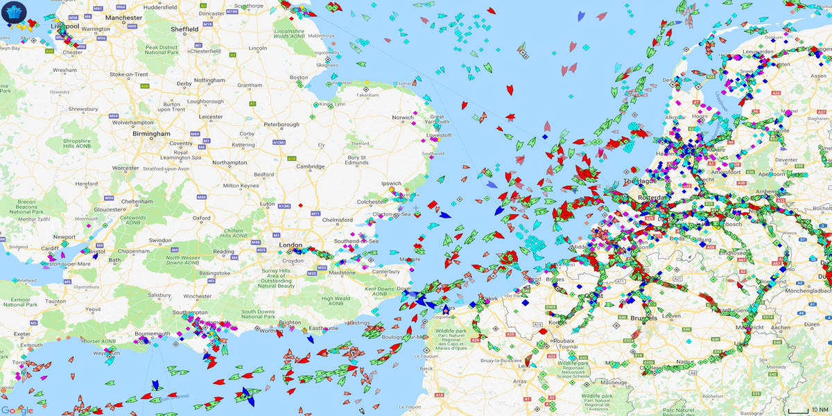
MarineTraffic is considered the Nº1 navigation App by all sea-lovers and maritime studies professionals. And no wonder why! Using the largest network of terrestrial AIS receivers, it can show thousands of boats, ships, and yachts, from all around the world, in real time. Wanna know more?
From an extensive interactive map, MarineTraffic allows us to access a large amount of information on all the vessels active at that time:
Once we access MarineTraffic¸ by clicking on any vessel, we can instantly find out more information about it. We can probably even find some of the rare boats we talked about in our last post! We won’t only remember some of their peculiar characteristics…We will also get to know their route!
Here is an example of one of the rarest ships in the world featured in Marine Traffic, “Bottsand Y 1643, the hinged ship”!
In addition to all the info we just mentioned, we can also know what is the speed at which they travel. This will allow us to know the expected time of arrival at your destination, if the engine is running, and of course, the current location.
A massive and updated data system
All this information is possible thanks to an AIS system (Automatic Identification System) that connects our boat, unintentionally, to a huge global database called Big Data, storing all the information about our boat. It was originally devised to try to minimize collisions between ships. It can detect the position, speed and route, vessels’ name, dimensions and details of the trip at any given time. This is a key action to anticipate possible collision courses and take preventive measures.
Animated navigation routes
Another very useful feature is the one that allows you to see the route followed by a ship. In addition to marking your route on the map, you can activate an animation, which shows the evolution of navigation. It also offers the option to view the planned route. Although interesting, this last characteristic must be used with some caution.
Among the many possibilities, MarineTraffic also offers a menu with a list of boats in alphabetical order, detailing if they are coastal, if they transport passengers, if they are high-speed, fishing boats, tugboats, or yachts.
How to access the platform?
In order to have all this information and discover everything that MarineTraffic has to offer, you not only have its website (https://www.marinetraffic.com/en/ais/home/centerx:-30.9/centery:39.6/zoom:2) but you can also download its app for Android, iOS, Windows Phone and Kindel operating systems and thus use this service in a much more comfortable way.
Of course, it is a paid mobile app, but completely worth it considering its price (€ 4.99 on iOS) based on everything it has to offer. In any case, their website website, at its most basic level, is freely accessible. In addition, there are four progressively more expensive user levels, primarily intended for professional use.
Even the free option is very interesting, as it allows you to create a "fleet" of up to five ships and define ten areas of interest. It also allows you to receive up to 30 notifications (email or push) per month about events related to the ships or areas described above.
MarineTraffic is an amazing app that has a huge database. It is totally essential if you want to be always aware of all the active boats, if you are a fan of the sea or if you are simply curious about all the interesting data that this platform has to offer.
Comments (0)